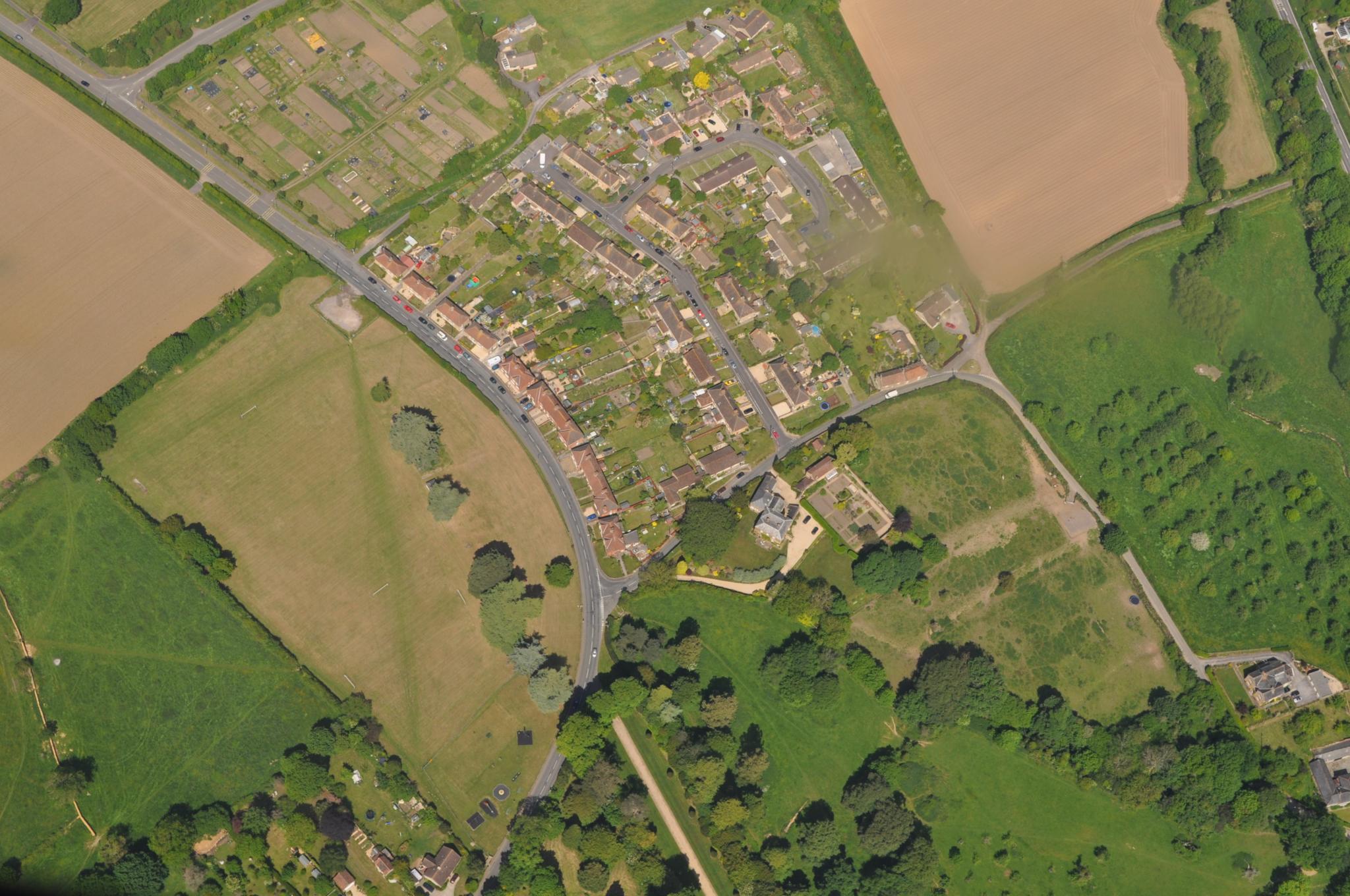
Sri Lanka has given contracts to two international firms to do aerial surveys to mitigate the impact of disasters like floods and drought, climate-related hazards that pose a significant threat to the country’s economic and social progress.
“There has never been a more urgent need for a comprehensive climate risk management programme to minimise economic losses and mitigate ensuing risks in order to make Sri Lanka resilient to these changes,” a statement said.
The island faces threats such as water scarcity, inter-seasonal variability of monsoons, droughts, decrease in energy security, increase in temperature, rising sea-levels and instability in agricultural production.
The two contracts for the project, funded by the World Bank, were awarded under the Ministry of Irrigation’s Climate Resilience Improvement Project (CRIP).
CRIP is a programme aimed at implementing urgent disaster mitigation activities and carrying out a comprehensive study in 10 selected basins to mitigate the impact of floods and droughts.
Since a high resolution Digital Elevation Model (DEM) is required for this, LiDAR and aerial photography surveys on selected river basins are being carried out. Light Detection And Ranging (LiDAR) is a remote sensing technology that measures distance by illuminating the target with a laser light.
The contracts for LiDAR surveying and aerial photography surveying were awarded to Fugro GEOID SAS and Aerodata Int. Surveys.
They will gather the necessary data required to determine remedial action to be taken to improve the country’s resilience to climate-related challenges.


![TV-Poster-All-Exhibition-Sri-Lanka-in-Focus-USA-2025[1]](https://www.srilankafoundation.org/wp-content/uploads/2025/04/TV-Poster-All-Exhibition-Sri-Lanka-in-Focus-USA-20251-450x450.jpg)


